Leicester Digital Mapping
3D Leicester
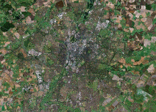
This is a collaboration with Infoterra who have created a navigable three-dimensional map of Leicester city centre that exceeds the capabilities and interactivity of existing digital maps. This project now aims to find novel uses for this map and to develop systems to allow the integration of data from other areas of the Leicester Digital Mapping project. This includes time-based interactions, immersive displays, new interfaces and creative uses of the technology.
For further information please contact:Prof Andrew Hugill
Email: ahu [at] dmu.ac.uk
www.ioct.dmu.ac.uk