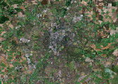
Leicester Digital Mapping
The aim of this cluster of collaborative research projects is to create rich overlayed mappings of the city's environment and culture. These mappings will reveal new aspects of Leicester, and provide a platform for creative and practical explorations of the past, present and future of the city.
The project is led by the Institute Of Creative Technologies at De Montfort University, in collaboration with the Institute Of Energy and Sustainable Development, the University of Leicester, Infoterra, Leicester City Council, Leicestershire County Council, and Leicestershire Statistics and Research Online.
The Projects
Leicester Digital Mapping comprises a collection of individually funded projects. Each is a colaboration between various partners and each maps the city in a different way, such as: physical, environmental, social, cultural or historical. Some of the projects are creative or artistic, some focus on aspects of technology or development. Funding for the projects has variously come from NESTA, EPSRC, AHRC, DMU and Leicester City Council. The overall Director of the Leicester Digital Mapping project is Professor Andrew Hugill.
 3D Leicester
 Amplified Leicester
 Community Maps
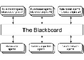 DARBS agent-based framework
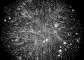 Data Interoperability
 Emotion Map
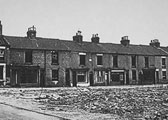 Highfields Remembered
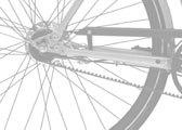 Songlines
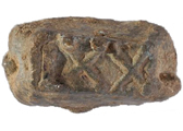 Virtual Romans
 Visualising Leicester
Prof Andrew Hugill
Email: ahu [at] dmu.ac.uk
ioct.dmu.ac.uk